
October 6, 2025
Trail Relocation, Burlington
Tunxis Trail
Relocation
July 1, 2024
Southern Tunxis Trail Network- Trail Changes
Tunxis Trail
New, Notice, Relocation
April 25, 2023
Trail Detour- New Hartford
Tunxis Trail
Closure
March 3, 2022
Nepaug State Forest Trail Changes, New Hartford
Tunxis Trail
Relocation
September 28, 2021
Barkhamsted – Trail Relocation/ Parking Update
Tunxis Trail
Relocation
Details
Trail Length: 38.5 miles
Towns: Southington, Wolcott, Bristol, Burlington, New Hartford, Canton, Barkhamsted, Hartland
Allowed Uses: Hiking Only
Partners: Connecticut Department of Energy & Environmental Protection (CT DEEP),
Trail Overview
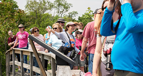
The Tunxis Trail is the backbone of a larger trail system that consists of 19 trails and totals just over 83 miles of interconnected hiking adventure. The trail system generally traverses the western ridge of the scenic central Connecticut valley. The southern trailhead of the Tunxis Trail is in Southington and the trail runs north to the Massachusetts state line. The trail is interrupted near the Wolcott/ Bristol line and resumes in Plymouth. The Tunxis Trail and its myriad of adjoining trails offer a wide breadth of loop hiking options and traverse a variety of terrain and landscapes.
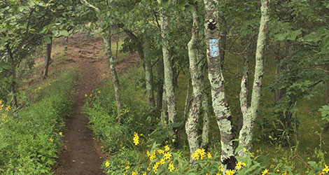
The southern end of the Tunxis Trail is typified by woodland paths that travel through the top and sides of the Central Valley’s western wall. The trail offers several outstanding views, including Julian’s Rock and Norton Outlook. The side trails in this southern region vary in length from a half-mile to just under five miles and travels over diverse terrain. The mid-region of the Tunxis is primarily in the Town of Burlington. Features of the trail system in this region include the challenging Mile of Ledges, the historic Tory Den, connecting trails to other trail systems in Sessions Woods Wildlife Management Area and Nassahegon State Forest, and opportunities to explore lands protected by the Burlington Land Trust. There are ample opportunities for loop hikes, long-distance hiking, and shorter family rambles.
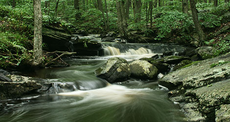
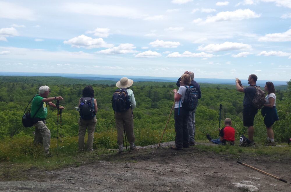
The northern section of the Tunxis Trail traverses some of the most beautiful woodlands that can be found in Connecticut. Highlights include the Indian Council Caves and Pine Mountain, where 180-degree views provide prime hawk-watching during spring and fall migration. The trail crosses and sometimes follows several wood roads and old fire roads, passing along picturesque mountain brooks. Located primarily on Metropolitan District Commission (MDC) lands and Tunxis State Forest, the trail in this region climbs steeply near its northern terminus to meet the Connecticut-Massachusetts state line and crosses for a short distance into Granville State Forest in Massachusetts.
Our Trail Partners


![]()